
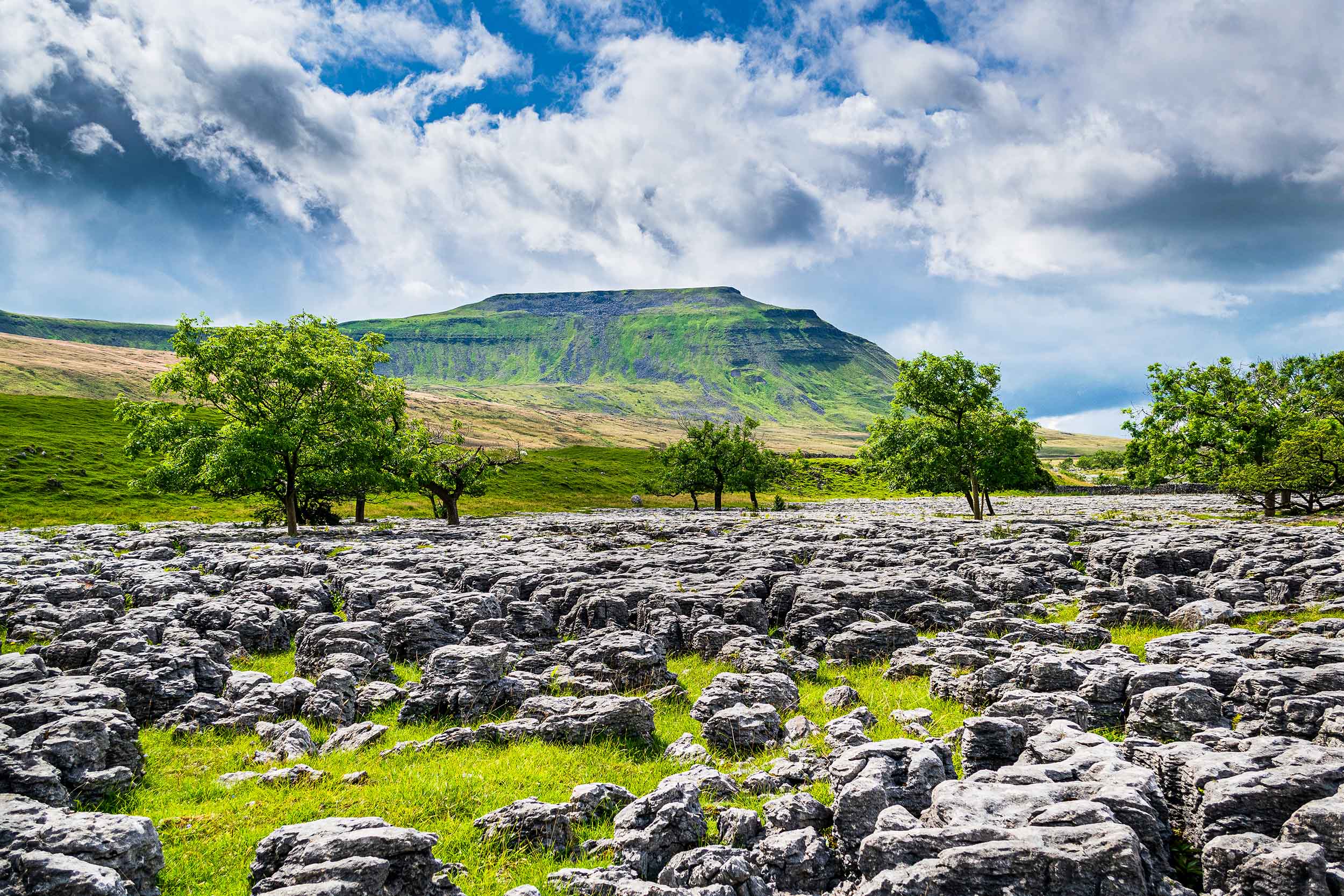

The Edale Skyline Challenge
A guided full-day circuit of the classic Edale Skyline — around 21 miles (34km) of ridges and moorland encircling the Vale of Edale in the Peak District, led from start to finish by a qualified Mountain Leader.
About the Challenge
The Ultimate Peak District Ridge Walk
The Edale Skyline is one of the great long-distance challenges in the Peak District — a circular loop that winds its way around the hills on either side of the Edale Valley, linking a whole horizon of summits in a single big day on the hills. Starting in the Hope Valley, you climb Win Hill, cross the wild Kinder plateau, take in the quieter peaks to the west, and finish along the magnificent Great Ridge over Mam Tor, Back Tor and Lose Hill.
It’s one of our alternative challenge events — a tougher, longer test created for corporate teams and charity groups who have taken on the Yorkshire 3 Peaks and want to step things up, as well as for fit, experienced walkers after a serious day out.
The Route: Around the Vale of Edale
The walk sits in the heart of the Peak District National Park — Britain’s first national park, designated in 1951 — in the rugged Dark Peak. The circuit crosses the Kinder Scout plateau, the highest ground in the Peak District, and finishes along the Great Ridge, the much-loved ridgeline that separates the vales of Edale and Hope. Its high point is the iconic Mam Tor (517m), known as the “Shivering Mountain” for its active landslips and crowned by the remains of a late Bronze Age and Iron Age hill fort. The Kinder area is also famous as the site of the 1932 mass trespass, a landmark moment in the story of public access to the countryside.
The Route at a Glance
Location | Peak District National Park (Dark Peak), Derbyshire |
Start & finish | Hope, Hope Valley (SK 180 832) |
Distance | ~21 miles / 34km (circular) |
Duration | ~10 hours |
Total ascent | Significant — multiple summits |
Highest ground | Kinder plateau (Kinder Low); Kinder Scout is the Peak District’s highest point |
Key summits | Win Hill, Kinder Low, Brown Knoll, Mam Tor, Back Tor, Lose Hill |
Terrain | Hill paths, ridgelines, moorland, flagstones, rocky sections |
Grade | Challenging — a serious full-day endurance walk |
Map | OS Explorer OL1 (Dark Peak) |
Hour-by-hour Intinerary
Times are approximate
8:00am | Set off from the start, heading out toward the foot of Win Hill. |
9:00am | Summit Win Hill (462m) — a tough first climb, rewarded with views down Ladybower Reservoir and across to the Great Ridge. Short break. |
9:45am | Descend to Hope Cross and join the old Roman Road, heading west toward Crookstone. |
10:30am | Crookstone Knoll — step onto the eastern edge of the Kinder plateau. |
11:15am | Ringing Roger — scenic gritstone outcrops; a brief pause and snack. |
12:00pm | Grindslow Knoll — continue west along the southern edge of Kinder. |
1:00pm | Lunch stop (around 30 minutes). |
2:00pm | Brown Knoll — a flagged path makes for faster walking. |
3:00pm | South Head and Mount Famine — a lesser-walked but gorgeous, undulating stretch. |
4:00pm | Rushup Edge and Lord’s Seat — rejoin the more popular paths. |
4:45pm | Mam Tor (517m) — a short, steep climb to the iconic “Shivering Mountain” and its Iron Age hill fort, with panoramic views. |
5:30pm | Back Tor and Lose Hill — the final climbs along the Great Ridge. Pause to look back across the whole skyline you’ve conquered. |
6:00pm | Descend back to the finish on a gentle field path — time for a celebratory drink or meal (The Old Nags Head or the Rambler Inn). |
*Approximate. Actual timings vary with the speed of the group, the weather and conditions on the day.
What to bring
Your Kit for a big day on the Hills
- At least 2 litres of water — there are no refill points on the route
- Waterproofs and windproof layers
- Solid walking boots
- Plenty of snacks and a packed lunch
- Hat, gloves and sun protection as the season demands
Your Mountain Leader carries the map (OS Explorer OL1 Dark Peak), emergency shelter and a group first aid kit. The Kinder plateau can be boggy and misty, so good navigation is essential — another reason a guided walk makes sense here.
What's included:
- A qualified, first-aid trained Mountain Leader guiding the group all day
- All route planning, navigation and group safety cover
What's NOT included:
- Transport to and from the start
- Food and drink — please bring your own
Price:
- £75 per person
- Includes a finishers medal
Who's it for?
A Step Up for Returning Groups
At around 21 miles, the Edale Skyline is a genuine endurance challenge — a perfect next step for corporate teams and charity groups who have completed the Yorkshire 3 Peaks and want something longer and tougher. It also suits fit, experienced walkers looking for a classic Peak District big day. Because the navigation across Kinder can be demanding, having a qualified leader makes it both safer and more enjoyable.
Discover more:
Edale Skyline - Your Questions Answered
What is the Edale Skyline Challenge?
A guided full-day circular ridge walk around the Vale of Edale in the Peak District, taking in summits including Win Hill, Mam Tor, Back Tor and Lose Hill — around 21 miles (34km).
How long and how hard is it?
Around 21 miles (34km), taking roughly 10 hours, and graded challenging. It’s a serious endurance walk with significant ascent over multiple summits, so a good level of fitness is needed.
Where is the Edale Skyline?
In the Peak District National Park — the Dark Peak — in Derbyshire. The route circles the Edale valley, starting and finishing in the Hope Valley.
What summits does it include?
Win Hill, the Kinder plateau (Kinder Low), Brown Knoll, South Head, Mount Famine, Mam Tor, Back Tor and Lose Hill, among others.
Do I need navigation experience?
The Kinder plateau can be boggy and misty and the navigation is demanding, which is exactly why you’re led throughout by a qualified Mountain Leader.
Is it suitable for beginners?
It’s a long, tough day better suited to fit walkers with some hill experience. Training walks beforehand are a good idea, and you’re fully supported by your leader on the day.
Is this an alternative to the Yorkshire 3 Peaks?
Yes. It’s one of our alternative challenge events, ideal for groups wanting a longer, tougher test after the Yorkshire 3 Peaks.
What's included?
A qualified, first-aid trained Mountain Leader, plus navigation and group safety cover. Transport and food are not included.
Ready to walk the Skyline?
Take on the Edale Skyline and conquer a whole horizon of Peak District summits in one unforgettable day. Get it booked!